WELCOME TO THE LGO UBS DATABASE
You will find here a catalog of the different data produced by the laboratory through research and courses work.
Search by data type
UAV aerial imagery
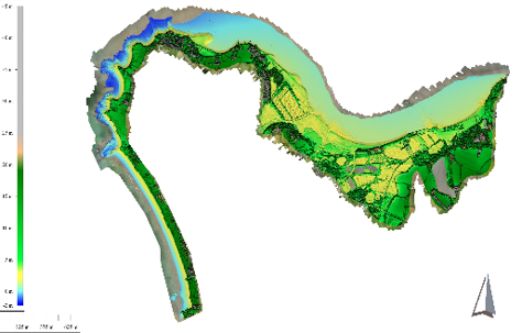
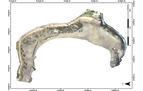
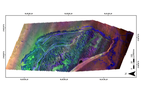
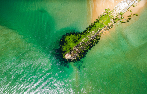
Since 2017, the LGO UBS has been using the drone as a tool for monitoring the dynamics of coastal environments (sediment budget, coastline evolution, vegetation monitoring...).
Data :
• Topography by photogrammetry (DTM, DEM, topographic profiles)
• Orthophotography
• Multispectral aerial imagery
• UAV photographs and videos
GEOPHYSICAL CAMPAIGNS
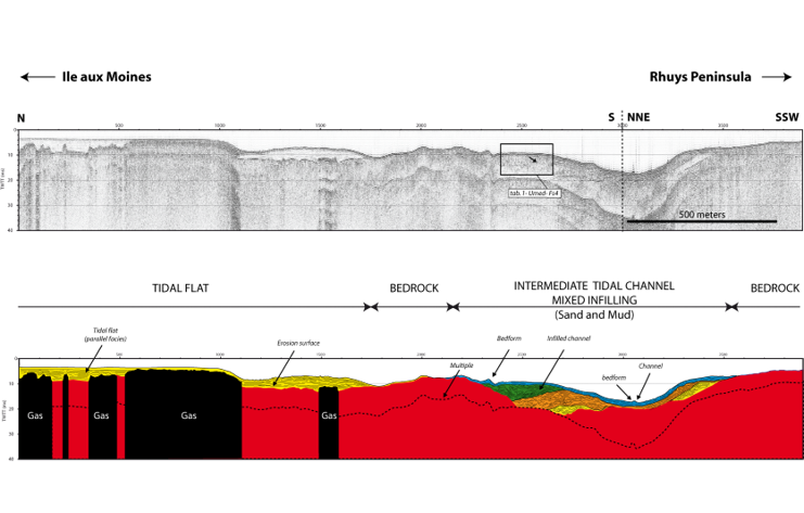
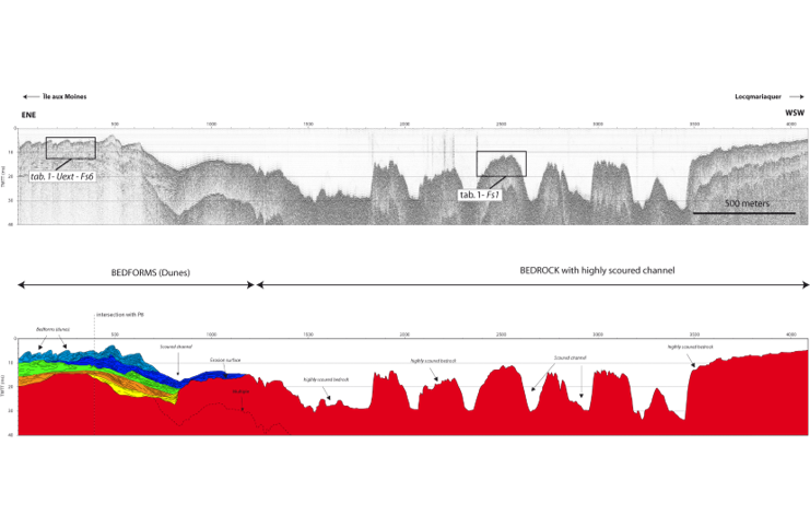
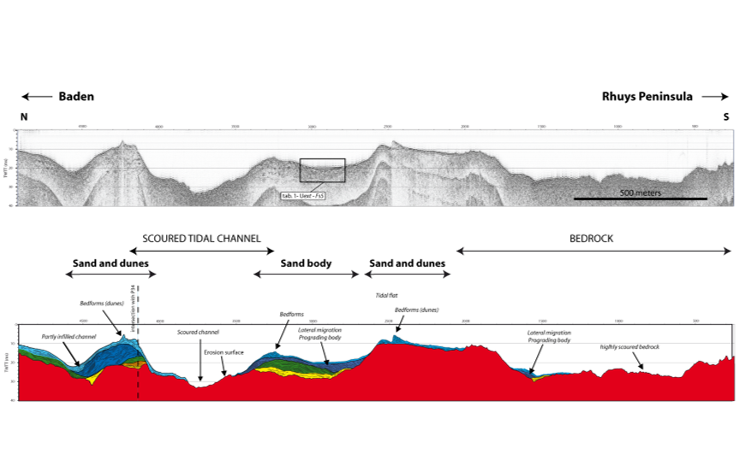
Since 2000, the LGO UBS has been conducting oceanographic campaigns in North Brittany and South Brittany to study the architecture of coastal marine sedimentary deposits.
Data :
• Raw seismic reflection profiles
• Interpreted seismic reflection profiles
ARE YOU INTERESTED IN A SPECIFIC DATA ?
You can contact us to submit an access request, ask for a quote or get additional information about our data.


